


The churchyard of the ancient church of St Bega on the shores of Bassenthwaite Lake in northern England is the first to be surveyed under a Church of England project to create a free digital map of every churchyard in the country.
The maps, which will detail gravestones and other features in the churchyards, are being created by surveyors using back-pack mounted laser scanners to scan the churchyards. They’ll also be taking photographs of visible headstones as part of the project.
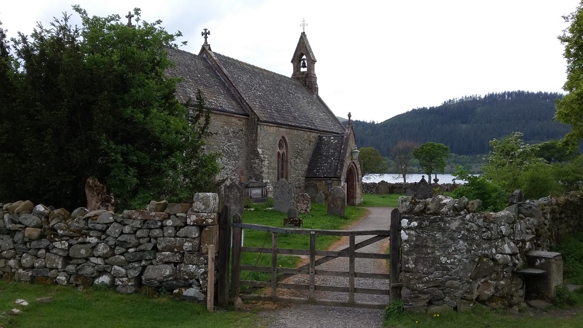
St Bega’s Church on the shores of Bassenthwaite Lake in northern England. PICTURE: Luke McKernan (licensed under CC BY-SA 2.0).
The National Burial Grounds Survey, which sees the Church of England working in partnership with Cumbrian-based surveying company Atlantic Geomatics, is expected to take uop to seven years. But a new website with the first of the maps is expected to go live next year and the church expects it to be of special interest to local community groups, conservationists, and those researching family history.
Substantial funding for the project has been provided by Historic England and the with the National Lottery Heritage Fund and Caring for God’s Acre are supporting the pilot phase. The project, which comes at no cost to parishes or dioceses within the church, is also being supported by genealogy research websites.
Bishop Andrew Rumsey, a lead bishop for church buildings said the project will make a “huge difference to those researching family history, as well as easing the administrative burden on parishes”.
“It will improve management of burial grounds, and make information more fully accessible than ever before, supported by additional services by subscription for those wishing to go further,” he said.
“It will soon be possible to visit almost any Anglican burial ground in the country and see in real time the location of burial plots. For those researching at distance in the UK or overseas, the digital records will place detailed information from churchyards at their fingertips.”
As well as surveying burials, the mapping project will also detail the biodiversity found in churchyards as well as green technology such as solar panels. Pilot surveys were carried out last year on two churches – United Benefice of Kirburton All Hallows and Shelley Emmanuel – in the Diocese of Leeds.