


Kuala Lumpur, Malaysia
Thomson Reuters Foundation
An Indonesian crowdsourcing app is tapping into the competitive spirit of its users by creating Pokemon Go-type games to help map land across the sprawling archipelago and protect forests and Indigenous people, organisers said on Friday.
The Urundata application uses publicly available satellite images to create games where users visit an area and then answer simple questions on the type of land they see and what it is being used for – plantations, natural forests or shrub, for instance.
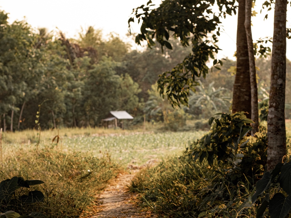
A forest path in Kalimantan, Indonesia. PICTURE: Hobi Industri/Unsplash
Initially started as a pilot project in April last year in South Sumatra and East Kalimantan provinces – with the help of more than 600 students – the mobile application went nationwide in November and is due to end in March.
“You can choose what kind location you’re interested in – it’s pretty much a game because you collect scores as you are providing answers,” said Ping Yowargana, a coordinator at land project RESTORE+, which launched the app.
“People can compete with each other – they can change their statuses from ‘volunteer’ to ‘warrior’ of data – and then share on social media,” said Vienna-based Yowargana, whose organisation is backed by the German government and aims to restore degraded land in Indonesia and Brazil.
Home to the world’s third-largest tropical forests, Indonesia is blighted by deforestation, while land conflicts involving developers and indigenous people are common.
But technology is increasingly becoming an essential tool to curb destruction of Indonesia’s vast forests, viewed as crucial in the fight against climate change as trees store planet-warming carbon.
Late last year, 10 major palm oil companies teamed up on a new radar system to monitor forests, while Asia’s pulp and paper giants also are using technology more.
The Urundata app is supported by the World Resources Institute, a US-based environmental think-tank, as well as Nairobi-based research group the World Agroforestry Centre and the World Wildlife Fund for Nature.
In some ways it is “pretty similar to Pokemon Go,” said Yowargana. “We try to make it fun.”
“It gives a good way for learning things and understanding the landscapes in a way that is very different from a classroom or through Wikipedia pages,” he added.
Pinning down on-the-ground details about land seen in satellite images is usually done by researchers or experts and can be labour-intensive and costly, a spokeswoman at WRI Indonesia said.
“The hope is that by crowdsourcing this, instead of having one expert looking…we can do it in a different way that allows many people to look at a similar amount of data,” Yowargana said.
To avoid misuse of the app that could skew results, answers from multiple users on the same area of land will be compared to form a consensus, Yowargana added.
Data collected by the Urundata app will be made publicly available on its website.
Backers hope the website will improve land restoration efforts by governments and researchers, enable authorities to better protect forests and Indigenous lands, and help companies identify and develop land in a sustainable way.
It will also make more data available for “people who are needing it”, including Indigenous groups, Yowargana said.
After the Urundata app completes its current mapping project, it may then be used in other efforts, such as looking at the impact of infrastructure or other land use changes.